AI Breakthrough from James Cook University Fuses Satellite Data for Unprecedented Oil Spill Detection
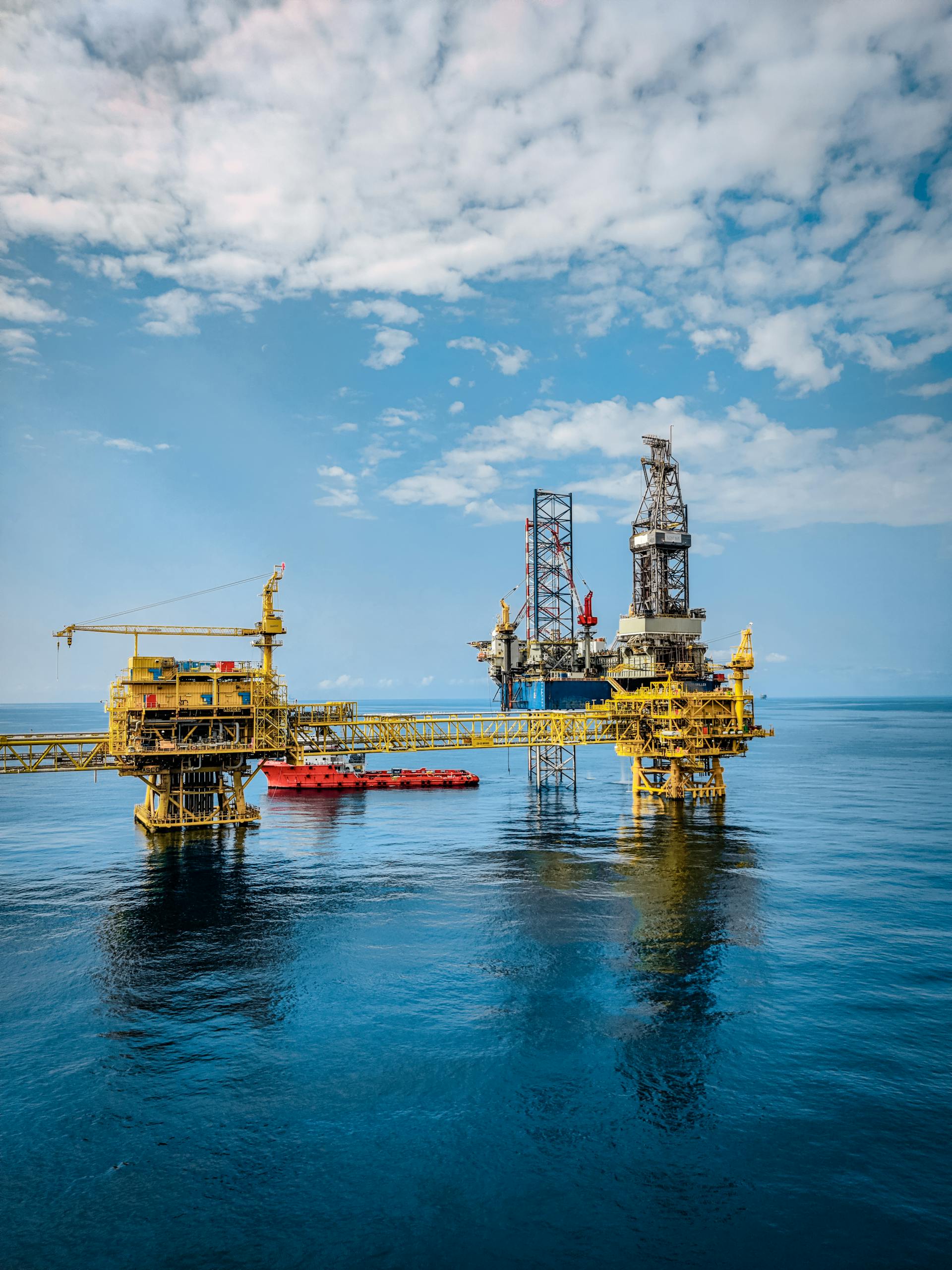
Detecting oil spills from space has always been a challenge. While satellites have long helped scientists identify spills in the ocean, the accuracy and detail of those detections often fell short. Now, researchers from James Cook University (JCU) in Australia have developed an AI-powered system that combines two types of satellite imagery—Synthetic Aperture Radar (SAR) and Hyperspectral Imaging (HSI)—to detect oil spills with far greater precision.
This new approach can determine not just where an oil spill is located, but also how thick it is and what kind of oil is floating on the surface. It’s a major step forward in environmental monitoring and marine disaster response.
How the New System Works
The system, developed by Quanwei Liu, a Ph.D. candidate at JCU, along with Dr. Kevin Huang and collaborators, uses deep learning and a new method called controlled random sampling to fuse the data from two very different kinds of satellites.
- SAR (Synthetic Aperture Radar) works by bouncing radar signals off the ocean surface. When oil is present, it smooths out the natural wave patterns, making the surface appear darker to radar sensors. SAR is excellent for quickly scanning large areas and identifying where oil might be, but it struggles to distinguish thin slicks from thick ones, and it can sometimes confuse natural calm areas or algae blooms for oil.
- HSI (Hyperspectral Imaging), on the other hand, is like a super-sensitive color camera. It captures hundreds of wavelengths of light, providing detailed spectral information that can reveal what the oil is made of. However, HSI typically covers smaller areas and isn’t as fast for wide-scale scanning.
By combining SAR and HSI, the team created an AI model that takes advantage of both: SAR’s large coverage and HSI’s detailed material recognition. The result is a fused image that offers cleaner outlines of oil spills and stronger identification of oil type and thickness.
The new method was published in the journal Remote Sensing Applications: Society and Environment under the title “Enhancing oil spill detection with controlled random sampling: A multimodal fusion approach using SAR and HSI imagery.”
A Two-Step Detection Strategy
The researchers suggest a practical, two-step approach for real-world spill response:
- Use SAR data first for rapid detection over large ocean areas. This step helps authorities quickly identify potential spill zones.
- Apply the fused SAR+HSI analysis within those zones to determine the type of oil, spill thickness, and accurate boundaries.
This workflow could make oil spill response faster, more informed, and more efficient, enabling response teams to prioritize areas with thicker or more hazardous oil.
Why This Matters
Oil spills can devastate marine ecosystems, coastlines, and wildlife. Once oil leaks into the sea, currents, wind, and waves can spread it over huge areas, making cleanup difficult and costly.
Take, for instance, the 2010 Deepwater Horizon disaster, which released millions of barrels of crude oil into the Gulf of Mexico from about 1.5 kilometers below the sea surface. The spill eventually contaminated roughly 12,000 square kilometers of ocean. Detecting and tracking that oil accurately was one of the biggest challenges during the response effort.
Traditional satellite monitoring tools have been crucial, but limited. Many systems can identify oil slicks, yet they often struggle to tell what kind of oil it is, how thick it is, or how it’s spreading beneath the surface. That’s where this new AI fusion approach stands out—it brings together complementary strengths from different satellites, helping paint a much clearer picture of what’s actually happening at sea.
The Role of Controlled Random Sampling
An interesting part of this research is the use of controlled random sampling, a technique for training the AI model on satellite data. Matching SAR and HSI images over the same location and time can be tricky, as they often come from different orbits or capture conditions. Controlled random sampling helps the algorithm learn from paired datasets—SAR and HSI images that correspond to the same areas of the ocean.
This sampling process improves the model’s accuracy and reliability, especially when detecting subtle differences in oil thickness and composition. Essentially, it helps the AI make better sense of the complex, multi-dimensional data coming from both satellites.
Beyond Oil Spills: Broader Environmental Uses
While the study focuses on oil spill detection, the researchers emphasize that the same data fusion and deep learning methods could be applied to other environmental challenges.
Potential uses include:
- Water quality monitoring: Detecting pollutants, sediment levels, or algal blooms.
- Forest and vegetation analysis: Monitoring deforestation, fires, or tree health.
- Disaster response: Assessing flood or storm damage more accurately by combining different types of satellite data.
The idea is to create an AI toolkit for environmental monitoring, capable of fusing multiple data sources to get a more complete picture of what’s happening on Earth’s surface.
Why Combining Satellite Data Is So Powerful
To understand why this approach is revolutionary, it helps to know a bit more about remote sensing.
Different satellites see the world in different ways. Optical satellites (like those that take visible photos) capture sunlight reflected off surfaces, much like a camera. Radar satellites like SAR, however, send out their own signals and can see through clouds, even at night. Hyperspectral sensors go even further, breaking light into hundreds of color bands—so instead of just “red, green, blue,” they can detect subtle differences in chemical composition.
Each has strengths and weaknesses. For example, optical images can be blocked by clouds, radar images can misinterpret calm water as oil, and hyperspectral sensors often have narrow coverage. But when fused together, these data sources can overcome each other’s weaknesses.
That’s what makes this JCU approach so powerful: it doesn’t rely on one “perfect” sensor—it uses AI to merge multiple imperfect ones into something much more reliable.
A Step Toward Smarter, Faster Responses
Oil spills demand fast action. The longer oil remains on the surface, the more damage it causes. If response teams can immediately know how big the spill is, what kind of oil it is, and how thick it is, they can make faster, better decisions about cleanup methods—whether to use dispersants, containment booms, or skimmers.
The JCU research doesn’t just improve detection accuracy—it provides actionable intelligence. By fusing satellite data through AI, it gives responders a “live map” that’s more precise than ever before.
The Future of AI in Environmental Monitoring
AI is rapidly becoming a crucial tool in Earth observation. From tracking wildfires to measuring melting ice sheets, algorithms can now process massive volumes of data from dozens of satellites in near real time.
The success of this new oil spill detection method shows how AI can act as the bridge between different sensors and data types, allowing scientists to understand complex environmental systems more fully.
In the near future, as more hyperspectral and radar satellites are launched, this kind of fusion could become standard practice—not just for oil spills, but for any global monitoring challenge that demands speed, scale, and accuracy.
Research Reference:
Enhancing oil spill detection with controlled random sampling: A multimodal fusion approach using SAR and HSI imagery – Remote Sensing Applications: Society and Environment (2025).
