Mapping Rural Heat in California: How Researchers Are Protecting Farmworkers from Extreme Temperatures
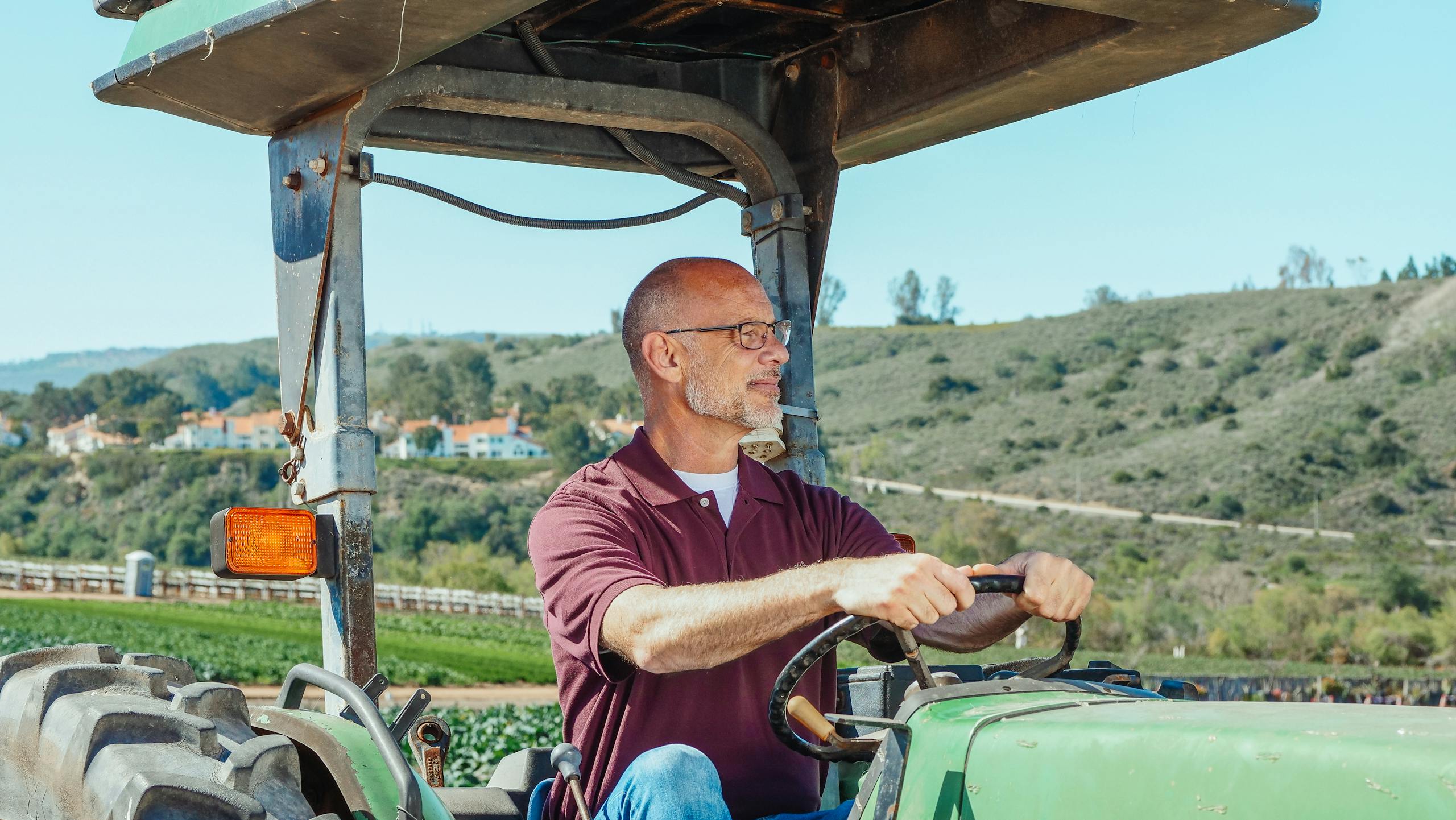
In the heart of Southern California’s Imperial Valley, a team of researchers from San Diego State University (SDSU) is taking a hard look at something most of us barely think about — the heat that builds up over farmlands and the risks it creates for the people working there. Their goal is simple but critical: to map rural heat, understand its impacts on farmworkers, and develop practical strategies to keep them safe in a warming climate.
This research comes at a time when California’s temperatures have risen nearly 3°F (about 1.7°C) since the start of the 20th century, and the trend isn’t slowing. In fact, seven of the last eight years through 2024 have been the hottest on record. Southern California is heating up roughly twice as fast as Northern California, and the consequences are felt most intensely by those who work under the open sun — farmworkers.
Understanding the Imperial Valley: A Place of Abundance and Heat
The Imperial Valley is one of the most productive agricultural regions in the United States. Bordered by Mexico to the south, the Colorado River to the east, and the Salton Sea to the northwest, it produces two-thirds of the winter vegetables eaten across the country. It also provides tens of thousands of jobs for seasonal and migrant laborers — more than 17,500 farmworkers were employed in Imperial County between 2023 and 2024.
But with this productivity comes a serious downside: heat. On average, the Imperial Valley experiences around 123 days each year when temperatures soar above 95°F (35°C), often exceeding 110°F (43°C) in August and September. The heat is relentless, and it’s not just a daytime problem. Warm nights prevent the body from cooling down properly, leading to dangerous accumulated heat stress for workers.
The Project: Mapping Rural Heat Islands
Led by Nicolas Lopez-Galvez, an assistant professor at SDSU’s School of Public Health, and Sagar Parajuli, a research scientist in geography, the project focuses on identifying “rural heat islands” — specific patches of farmland that trap and radiate more heat than their surroundings. These areas can be just as intense as urban heat islands, though they’re far less studied.
To understand the scale of the problem, researchers are combining on-the-ground measurements with satellite data. Over the past two years, the SDSU team has equipped around 300 farmworkers with wearable body sensors that record data such as core body temperature, heart rate, and work activity. At the same time, environmental sensors have been installed in the fields to measure air temperature, humidity, wind speed, solar radiation, and wet-bulb globe temperature (WBGT) — a comprehensive metric for assessing heat stress.
The team also analyzes satellite imagery to map land-surface temperature patterns and compare them with environmental and physiological data. By overlaying all this information, they can pinpoint exactly where and when farmworkers face the highest risks.
What the Data Is Showing
The findings so far paint a complicated picture of how heat behaves in rural landscapes:
- Type of crop matters. Workers in ground-level crops like sugarcane and lettuce experience higher heat exposure than those in tree crops, since there’s less shade and more reflection from bare soil.
- Season and work type are key. During the summer months, tasks like irrigation, field preparation, and maintenance expose workers to extreme conditions. Even starting early — often around 4 a.m. — doesn’t completely eliminate the risk, since temperatures rise quickly after sunrise.
- Irrigation cools by day but heats by night. One of the team’s studies found that watering crops during hot days can lower the WBGT through evaporation, offering some daytime relief. But at night, the added humidity raises WBGT values, making it harder for workers to cool down while resting.
- Local geography changes everything. Heat levels vary significantly based on tree cover, soil moisture, and proximity to bodies of water or fallow fields. Some neighborhoods or fields effectively form “heat pockets” — small zones where the temperature is several degrees higher than nearby areas.
These results underscore that rural heat exposure is not uniform. Some fields, even within the same valley, can be drastically hotter than others, which is why the mapping process is so important.
Gaps in Policy and Worker Protection
California does have heat illness prevention rules for outdoor workers, but researchers point out that enforcement is inconsistent and that guidelines for rest breaks don’t align well with actual heat stress data.
Based on the SDSU team’s findings, farmworkers often don’t get enough rest breaks to recover safely. Regulations usually rely on air temperature alone, but WBGT thresholds — which also account for humidity and radiant heat — would give a more accurate picture of risk.
Without such adjustments, many workers are still exposed to unsafe conditions. This gap between policy and practice is one of the areas the researchers hope to influence through their data.
The Next Step: Turning Data into Action
SDSU recently received a $5 million federal grant to extend this work through 2030 under an initiative called “Taking on the Heat.” The project aims to create community-driven heat mitigation plans across the Imperial Valley.
The new phase includes:
- Developing a heat vulnerability map of the region.
- Setting up cooling centers and shade structures in high-risk zones.
- Improving access to drinking water and rest stations.
- Hosting community workshops to educate residents and farmworkers about heat safety.
- Publishing a Heat Action Planning Guide for Neighborhoods to help local governments and organizations respond effectively.
Partner groups like Líderes Campesinas and Comité Cívico del Valle are working alongside SDSU to ensure the research benefits the communities directly affected by extreme heat.
Why It Matters
The broader significance of this project goes far beyond the Imperial Valley. As climate change accelerates, extreme heat is becoming one of the deadliest environmental hazards worldwide — killing more people each year than floods, hurricanes, or wildfires. Farmworkers, construction workers, and other outdoor laborers are at the front line of this crisis.
The research also challenges the long-held belief that heat islands are only an urban issue. Agricultural landscapes, with their mix of irrigated fields, bare soil, and limited tree cover, can also trap heat and create dangerous microclimates.
Moreover, nighttime heat — which prevents the body from cooling off — is emerging as a major concern. Without adequate recovery time, farmworkers start each day already overheated, making them more vulnerable to heat exhaustion and heat stroke.
This work by SDSU and its partners provides not just data, but a roadmap for adapting rural communities to a warming world. By identifying where heat stress is highest and why, policymakers and farmers can make smarter decisions about scheduling, irrigation timing, shade design, and rest-break policies.
The Science Behind Heat Stress
To better understand what these researchers are studying, it helps to know a bit about wet-bulb globe temperature (WBGT) — the measurement used to assess heat stress risk. Unlike ordinary air temperature, WBGT includes:
- Humidity (how much moisture is in the air)
- Solar radiation (sunlight intensity)
- Wind speed (which affects cooling)
- Air temperature
A WBGT above 86°F (30°C) is already considered dangerous for heavy outdoor labor, especially if workers are not acclimated or lack shade and hydration.
The human body cools primarily through sweating, but when humidity is high, sweat evaporates less efficiently. This means that even at lower air temperatures, the perceived heat — and health risk — can be much higher. Prolonged exposure without sufficient rest and rehydration can lead to heat cramps, heat exhaustion, or even fatal heat stroke.
Looking Ahead
The SDSU researchers plan to expand their work to California’s Central Valley and eventually into Yuma, Arizona — another major agricultural hub with similar heat challenges. Their ultimate goal is to build a regional heat monitoring network and establish data-backed standards for worker safety across the Southwest.
With continued research and collaboration between scientists, communities, and policymakers, efforts like this could redefine how the U.S. approaches climate resilience in agriculture. The work in the Imperial Valley is already proving that science and local partnership can make a life-saving difference.


