Scientists Say the Strongest Hurricanes and Typhoons Are Becoming More Likely as Ocean Hot Spots Grow
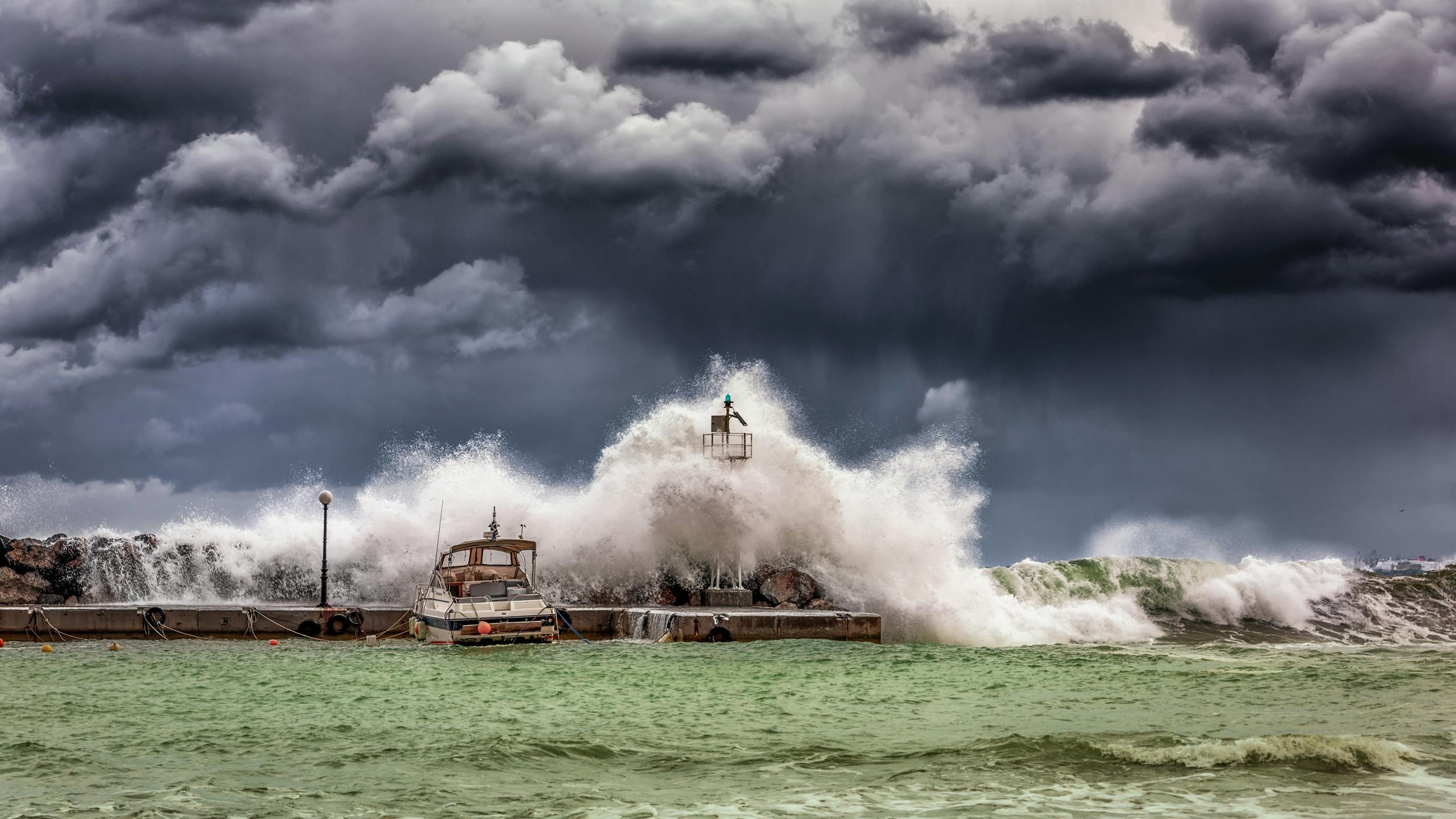
Scientists studying the world’s most powerful tropical cyclones are seeing a clear and worrying trend: the ocean regions that fuel the strongest hurricanes and typhoons are expanding. These changes are happening mainly in the North Atlantic and the Western Pacific, and research suggests that human-driven climate change is playing a major role.
At the center of this research is a growing idea that the current storm classification system may no longer be enough. Some scientists now argue that storms exceeding today’s Category 5 limits deserve a new label altogether — Category 6 tropical cyclones.
Why scientists are talking about Category 6 storms
Tropical cyclones are currently classified using scales such as the Saffir-Simpson Hurricane Wind Scale, which tops out at Category 5. Any storm with sustained winds above 137 knots falls into that highest category, no matter how much stronger it becomes.
But researchers led by atmospheric scientist I-I Lin of National Taiwan University say this system lumps together storms with very different levels of destructive potential. Their proposal is simple: storms with sustained winds exceeding 160 knots should be classified as Category 6.
Most existing categories span a range of about 20 knots. For example, Category 4 storms fall between 114 and 137 knots. Category 5, however, has no upper limit. According to the researchers, adding Category 6 would give scientists, emergency planners, and the public a clearer picture of just how extreme these storms can be.
Real storms that already fit the Category 6 definition
This idea isn’t hypothetical. Several well-known storms from recent history already meet — or exceed — the proposed Category 6 threshold.
One of the most infamous is Typhoon Haiyan, also known as Yolanda, which struck the Philippines in November 2013. Haiyan made landfall at near-maximum intensity, killing thousands of people and becoming one of the deadliest tropical cyclones on record.
Another is Typhoon Hagibis, which hit Japan in 2019. Although it weakened before reaching Tokyo, it caused massive flooding and damage, making it one of the costliest storms Japan has ever faced.
Then there is Hurricane Wilma from 2005, still considered the most intense hurricane ever recorded in the Atlantic basin.
And towering above them all is Hurricane Patricia, which formed off the Pacific coast of Mexico in 2015. With winds reaching around 185 knots, Patricia was so strong that it would technically qualify as a Category 7 storm — if such a category existed.
Category 6 storms are becoming more common
When Lin and her colleagues looked back over roughly four decades of storm data, a striking pattern emerged.
From 1982 to 2011, there were eight tropical cyclones with wind speeds exceeding 160 knots. But from 2013 to 2023, there were ten such storms. That means more than half of all known Category 6-level storms occurred in just the last decade.
This sharp increase suggests that the most extreme storms are no longer rare outliers. Instead, they are becoming a more frequent feature of the modern climate system.
The ocean hot spots powering extreme storms
The research shows that these ultra-powerful storms don’t form randomly. They tend to develop in specific ocean regions known as hot spots, where water is not only warm at the surface but also warm deep below the surface.
The two most important hot spots are:
- The Western Pacific, particularly east of the Philippines and Borneo
- The North Atlantic, around and east of Cuba, Hispaniola, and Florida
What makes these regions special is the depth of their warm water. In many parts of the ocean, a strong storm churns up cooler water from below, which can weaken the storm. But in these hot spots, warm water extends far deeper, so storms continue to draw energy without cooling themselves down.
These hot spots are expanding
One of the most concerning findings is that these storm-fueling hot spots are growing in size.
In the North Atlantic, the hot spot has expanded eastward past the northern coast of South America and westward into much of the Gulf of Mexico. In the Western Pacific, the hot spot has also spread, covering a larger area where storms can rapidly intensify.
This expansion increases the chances that powerful tropical cyclones will form — and that they could make landfall near densely populated regions.
How much of this is caused by climate change?
The researchers examined both natural temperature variability and long-term warming trends. Their conclusion is that while natural factors still play a role, human-caused climate change is responsible for roughly 60 to 70 percent of the expansion of these hot spots.
In other words, global warming is significantly increasing the amount of deep ocean heat available to tropical cyclones, making the strongest storms more likely.
Warm oceans are necessary, but not enough
It’s important to note that not every storm that forms over a hot spot will become a Category 6 cyclone. Atmospheric conditions still matter. Factors such as low wind shear, favorable wind patterns, and sufficient moisture are also required.
The hot spots act as a necessary but not sufficient condition. They load the dice, but they don’t guarantee an outcome.
Why recognizing Category 6 storms could matter
Lin and her colleagues argue that officially recognizing Category 6 storms could improve public awareness and disaster planning. Cities in hot spot regions could better assess their risk and design infrastructure that can withstand truly extreme storms.
From a communication standpoint, a Category 6 label would signal that a storm is far beyond what people typically imagine as “the strongest hurricane”, potentially motivating more serious preparation and evacuation efforts.
Extra context: why deeper ocean heat matters so much
Traditionally, hurricane research focused on sea surface temperatures. But scientists now know that what lies beneath the surface can be just as important.
When warm water extends deep into the ocean, storms can intensify rapidly and maintain extreme strength for longer periods. This is one reason we are seeing more cases of rapid intensification, where a storm strengthens dramatically in a short amount of time — a major challenge for forecasters.
As oceans continue to absorb heat from the atmosphere, these deep warm layers are becoming more common, especially in tropical and subtropical regions.
Looking ahead
The growing number of Category 6-level storms is not just a scientific curiosity. It’s a clear signal that the upper limits of tropical cyclone intensity are changing.
Whether or not weather agencies officially adopt a Category 6, the underlying message remains the same: the strongest storms on Earth are getting stronger, and the ocean conditions that support them are spreading.
Understanding these changes now is essential for improving forecasts, strengthening infrastructure, and protecting lives in an era of intensifying extreme weather.
Research paper:
https://agupubs.onlinelibrary.wiley.com/doi/10.1029/2013GL058389
